
NEW: ‘Rapid-Fire’ Earthquakes Rock Southwestern State
Two earthquakes struck Nevada just seconds apart Friday morning, rattling a region of the American West where the Earth’s crust is slowly being pulled apart by powerful geological forces.
The back-to-back tremors hit near Preston, Nevada, with the U.S. Geological Survey recording magnitudes of 3.6 and 3.5.
The first earthquake struck at approximately 10:10 a.m. Eastern time, followed by a second quake just 24 seconds later.
Despite the rapid succession of seismic activity, authorities have not reported any injuries or property damage.
But the unusual timing has drawn attention to the region’s volatile geology, where shifting fault lines have produced numerous earthquakes in recent months.
Both tremors occurred within the Basin and Range Province, an enormous geological region spanning more than 300,000 square miles across much of the western United States.
The area includes large portions of Nevada, Utah, eastern California, southern Idaho, Oregon, Arizona and New Mexico.
Unlike regions where tectonic plates collide, the Basin and Range Province is undergoing a gradual process of stretching as forces deep within the Earth pull the crust in different directions.
Over millions of years, those forces have caused the land to fracture into enormous blocks, creating the mountain ranges and valleys that dominate Nevada’s landscape.
As the crust stretches and becomes thinner, cracks known as faults develop beneath the surface.

Screenshot-X
When pressure builds along those faults and the rocks suddenly shift, the resulting release of energy produces earthquakes.
That ongoing geological process helps explain why Nevada experiences frequent seismic activity, even in areas far from California’s better-known San Andreas Fault.
POLL: Do You Still Stand With Pete Hegseth?
While Friday’s earthquakes were relatively minor, their occurrence within seconds of each other highlighted the region’s continued movement.
According to Michigan Technological University, earthquakes ranging from magnitude 2.5 to 5.4 are often noticeable to people nearby but generally produce little or no significant damage.
Friday’s tremors fell within that range, although the intensity experienced at any particular location depends on factors including depth, distance and local ground conditions.
The latest earthquakes also follow a series of stronger tremors recorded near Preston earlier this year.
On Sept. 27, two earthquakes measuring magnitude 4.1 struck west of the community, adding to the area’s recent seismic activity.
Nevada has experienced considerably more powerful earthquakes in the past.
In May 2020, a magnitude 6.5 earthquake struck near Monte Cristo Range in western Nevada, causing damage to highways and shaking communities across a wide area.
That earthquake was associated with the same broader geological forces responsible for shaping the Basin and Range Province.
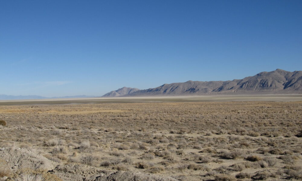
The region’s unusual landscape provides visible evidence of the changes taking place beneath the surface.
As the ground stretches, some enormous sections of crust sink to form valleys, while neighboring sections remain elevated or tilt upward into mountain ranges.
The process continues today, although the movement typically occurs so slowly that it becomes noticeable only when earthquakes strike.
Scientists have long monitored Nevada’s fault systems because the state contains numerous active faults capable of producing damaging earthquakes.
However, the two tremors reported Friday do not necessarily indicate that a larger earthquake is imminent.
Seismologists cannot reliably predict the exact time, location or magnitude of future earthquakes based on smaller tremors alone.
For now, the USGS has recorded two earthquakes near Preston, measuring magnitudes of 3.6 and 3.5, separated by just 24 seconds.
No damage has been reported, and officials have not announced any injuries connected to the seismic activity.